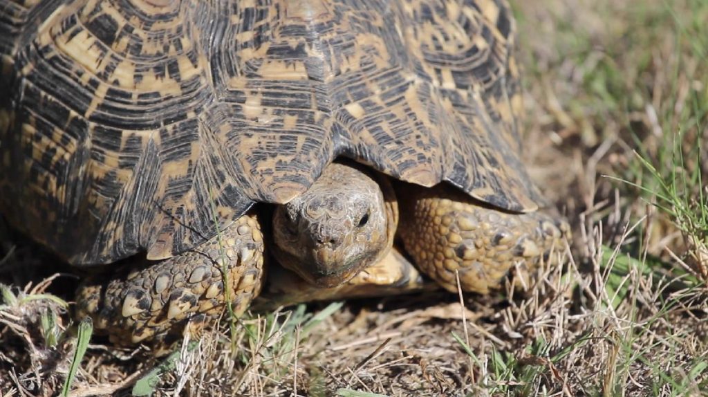
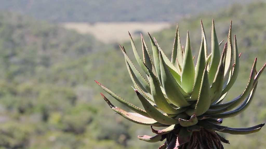
Natural Resources
- Diverse flora and fauna
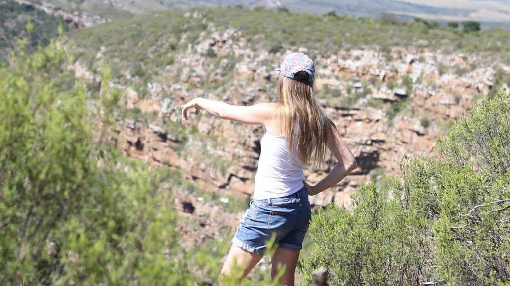
- Interesting rock formations
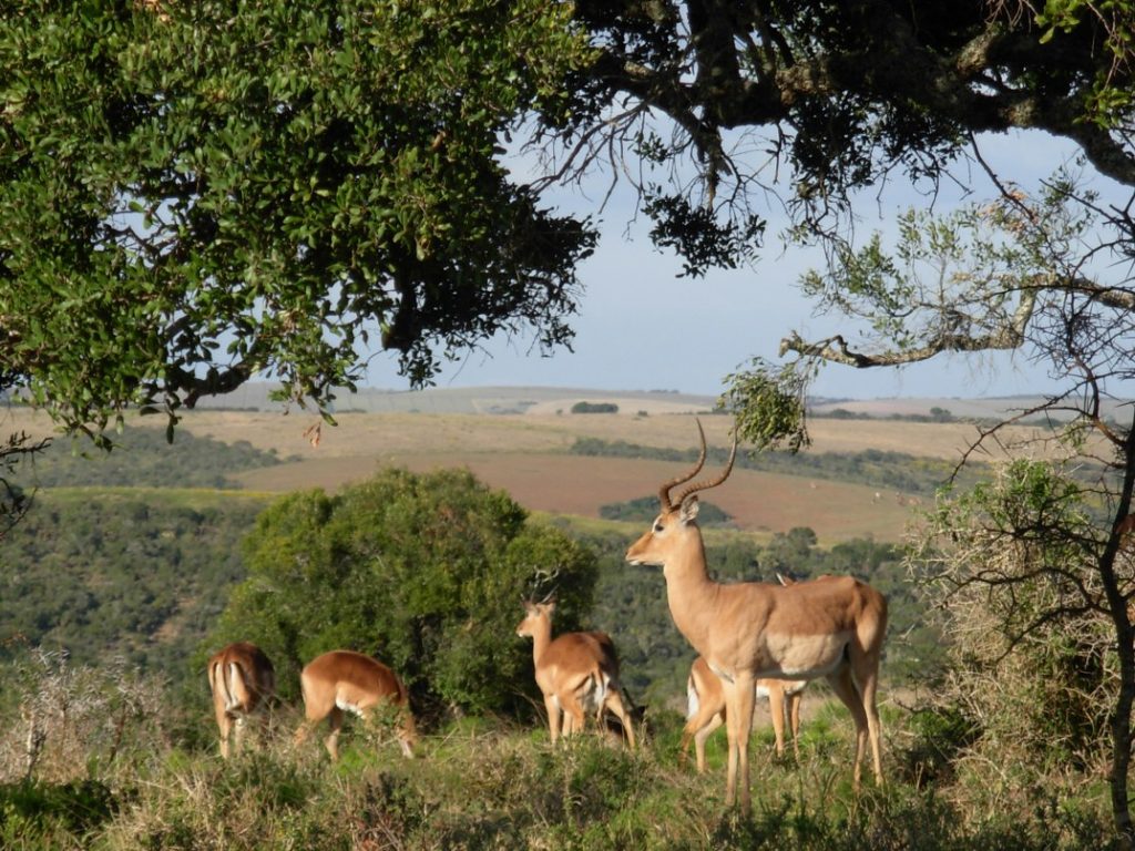
- Various species of indigenous buck – bushbuck, duiker, grysbok and rhebuck
- You may also see monkeys, baboons, wild pig and warthog, and if you are very lucky, you might even see a porcupine or antbear
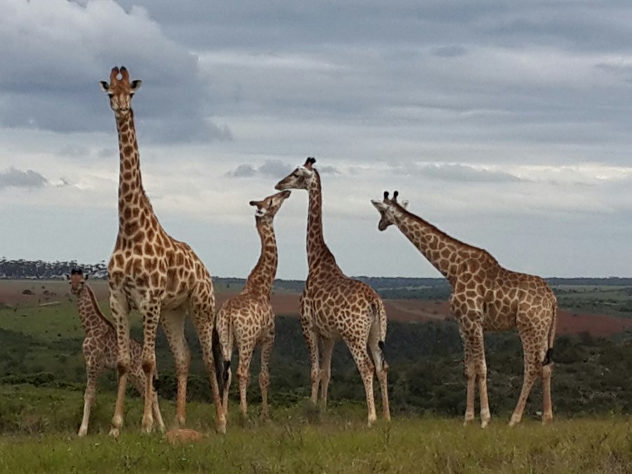
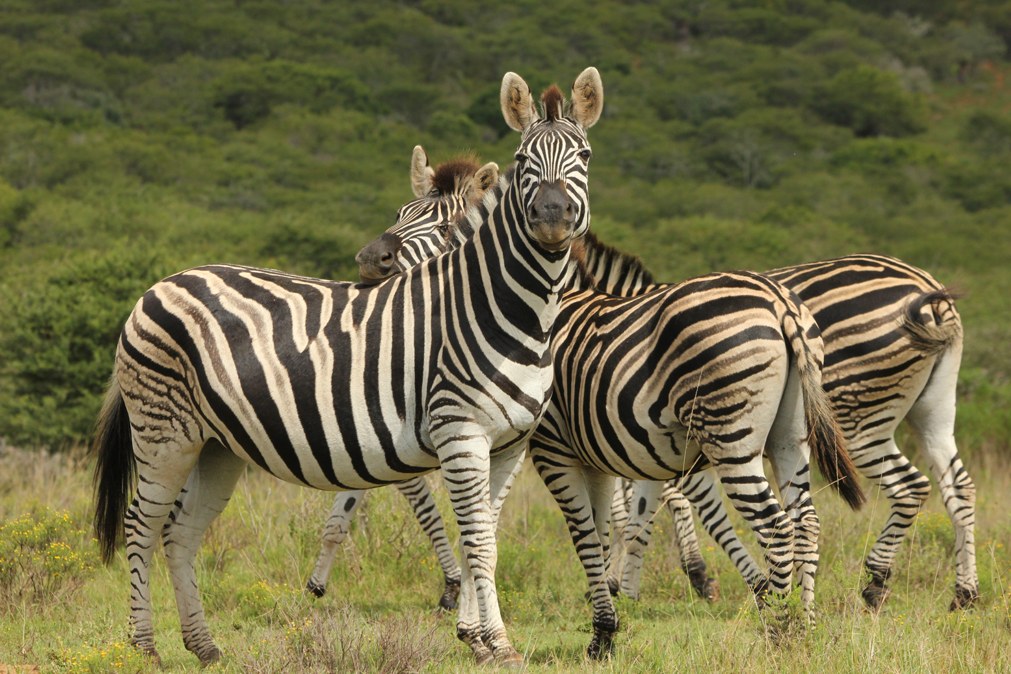
- Giraffe, zebra and various species of antelope have been introduced to the farm
- There are no dangerous game, however, wild animals are unpredictable and should be treated with caution and respect!
Bird Watching
Assegaai trails has a rich birdlife – over 180 species sighted (Click here to download the bird list).
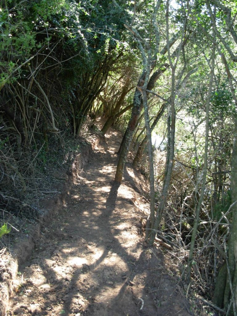
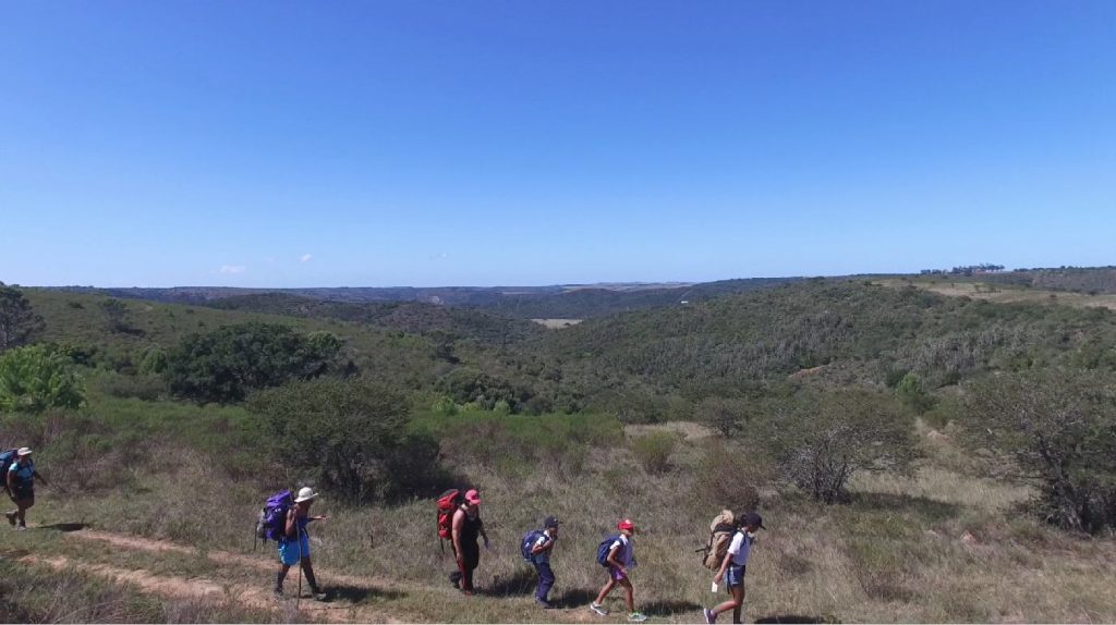
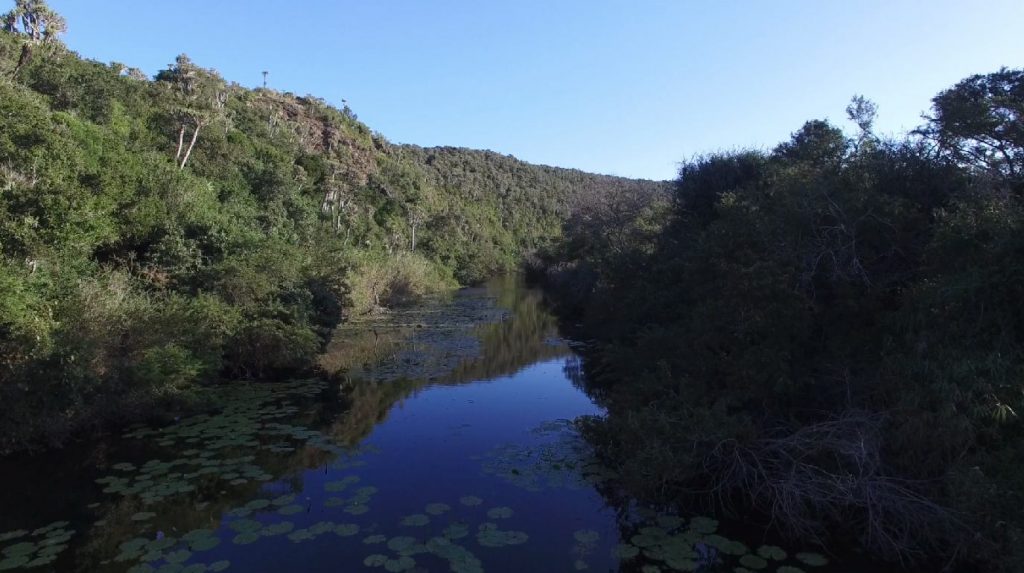
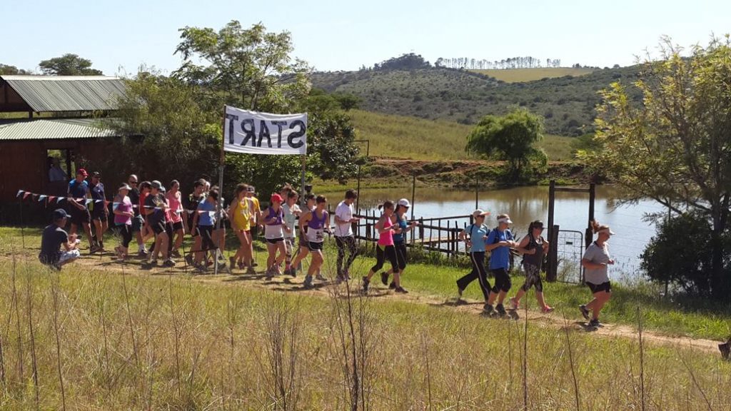
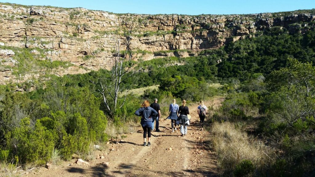
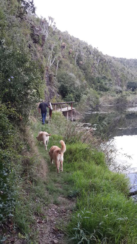
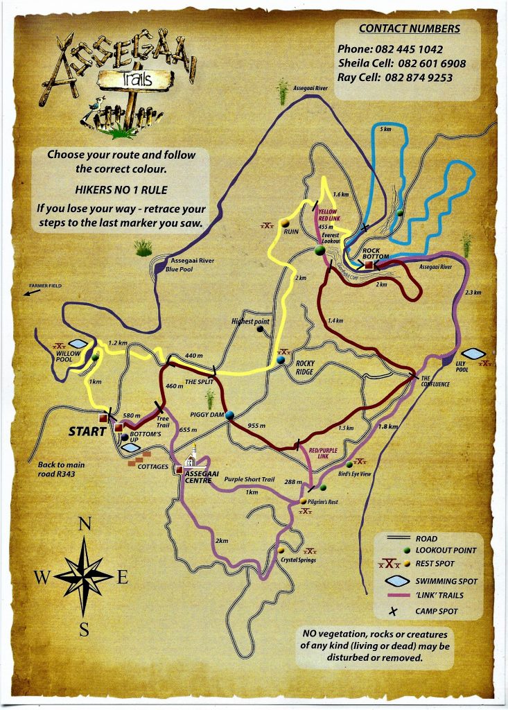
There are 4 hiking trails, each marked in the appropriate colour as indicated on the map. All have their fair share of ‘ups and downs’ and you will find that the terrain is varied and includes Riverine Forest, open grassland, wooded kloofs and East Cape bushveld, with some spectacular views. Trails have been linked with PINK ‘link trails’ to allow you to plot a specific distance for your group, or to take shorter day walks. Distances are marked on the map.
Assegaai Trails is situated in a malaria and cholera free area, but there are ticks in the Eastern Cape and it is advisable to take precautions and spray boots and socks with tick repellent (bayticol or tabbard). We rate the hike as easy to moderate.
The Trails are accessible from the Assegaai Centre and the Cottages, and all trails can be walked in reverse.
Yellow Trail – 6½ km from the Start to Rock Bottom Camp.
Red Trail – 7½ km from the Start to Rock Bottom Camp.
Blue Trail – 5 km loop starting and ending at Rock Bottom Camp.
Purple Trail – 7½ km from the Start to Rock Bottom Camp – however, this can be shortened to 6½ km by following the SHORT PURPLE ROUTE.
Assegaai Tree Trail – A route of just over 1 kilometer has been tailored for the ‘tree fundi’. Trees and shrubs are labeled with the common and botanical names, and a booklet has been compiled with all the interesting traditions and uses associated with these trees.
You will need to bring – sleeping bags, food, drink, eating utensils and personal items (don’t forget your binoculars, tick repellent, suntan lotion and hat). (For a small fee these can be transported to Rock Bottom camp so that hikers have to carry only their day-packs.)
In very hot weather, hikers should carry at least a litre of water. The river water is drinkable, but tastes rather ‘brack’. There is fresh drinking water at both camps.
Day Walks – There are several day-walks of varying distances (from 3½km to 14km), with beautiful picnic spots and areas to braai. Trails have been linked with PINK markings to allow you to plot a specific distance for your group, or to take shorter day walks. Distances are marked on the map.
![]() Click here to download the hiking trails map
Click here to download the hiking trails map